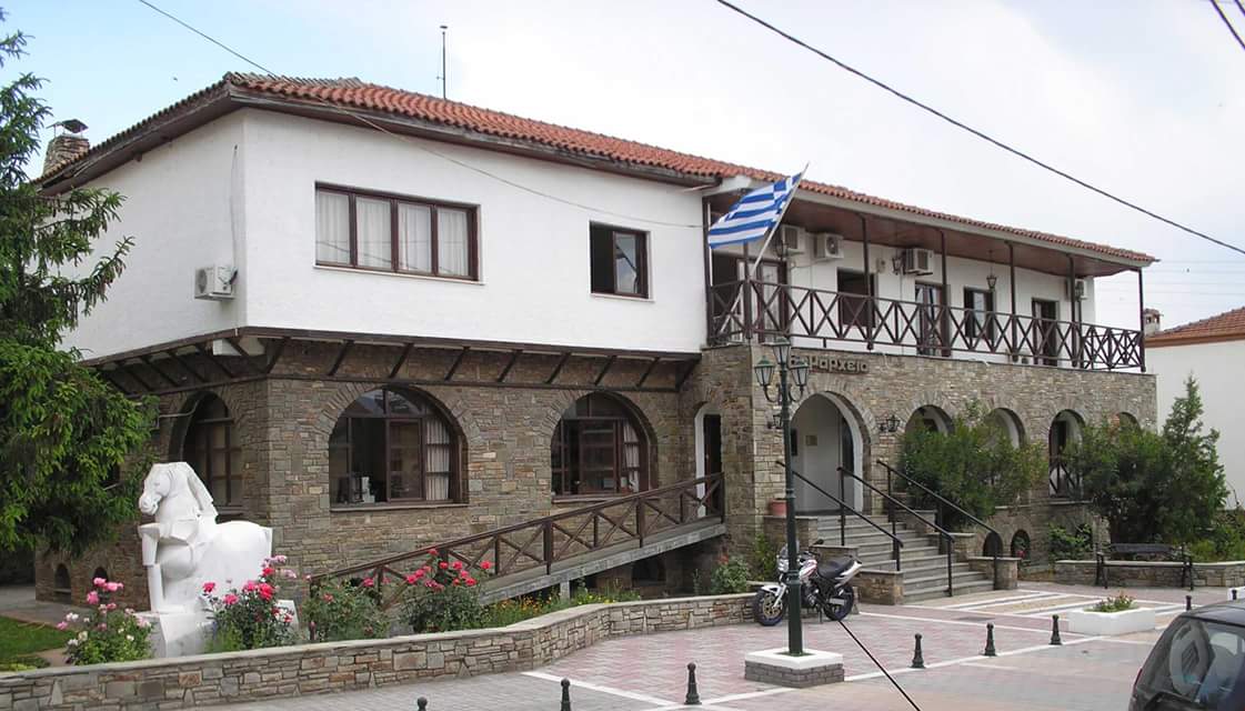
The Municipality of Prosotsani is a municipality in the Region of Eastern Macedonia and Thrace, established in 2011 under the Kallikratis Program. It was formed through the merger of the former municipalities of Prosotsani and Sitagroi. The municipality covers an area of 482.77 square kilometers, and its permanent population is 10,739 residents according to the 2021 census. The seat of the municipality is Prosotsani.
Natural Environment
The Cave of the Springs of Angitis. The largest river cave in the world and the largest cave in Greece. The Angitis Cave is the largest river cave in the world with a length of 11 kilometers and is located in Prosotsani. It is also the largest cave in Greece.[2] Its uniqueness lies in the fact that the Angitis River flows through the cave. Its rich formations include enormous stalactites. It is open to visitors for a length of 500 meters.
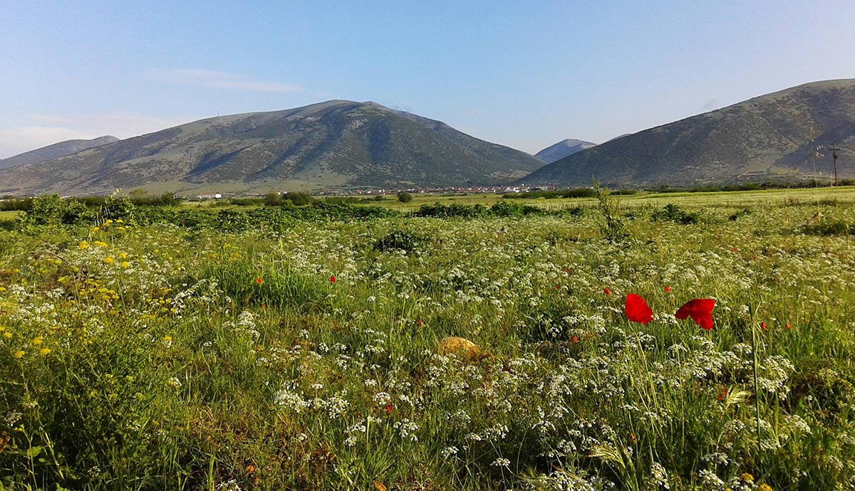
Mount Menikio, with its rich flora and fauna in its dense forests, gorges, plateaus, and subalpine meadows, ranks among the most important mountainous areas of Eastern Macedonia. More than 500 plant species have been recorded, forming about 20 different habitats.
Events
• Pentecost: Feast of the Holy Trinity Church of Prosotsani.
• June 24: Revival of the custom of “Klidonas” by the Thraco-Macedonian Association of Prosotsani.
• July 14–20: Feast of Prophet Elias at the homonymous chapel of Prosotsani.
• August: Angitis River Festival “ERGOSTASIO,” held at the recreational park of the same name.
• September 29: Memorial events for the massacre of Prosotsani residents in 1941 by the Bulgarians.
• November 21: Feast of the Church of the Presentation of the Virgin Mary in Prosotsani.
• Pentecost Monday: Feast of the Holy Trinity Church of Prosotsani.
• January 6, 7, and 8: In Kali Vrysi, Drama, the “Babougera” custom takes place, an ancient Macedonian tradition with Dionysian roots. Participants dress in animal skins and hang bells on themselves, walking through the village singing and dancing.
Municipal Units and settlements
Map of the units (and former municipalities) that make up the Municipality of Prosotsani:
1 – Prosotsani
2 – Sitagroi
The Municipality of Prosotsani consists of 2 “municipal units,” which correspond to the 2 merged municipalities. Each municipal unit is divided into “communities,” which correspond to the districts of the abolished local authorities (OTAs). The present-day communities of the municipality were independent communities and municipalities before the implementation of the Kapodistrias Program.
Municipal Unit of Prosotsani
The Municipal Unit of Prosotsani constituted the entire municipality before its merger under the Kallikratis Program in 2010.
Includes the following settlements:
Prosotsani
Anthochori
Grammeni
Kali Vrysi
Kallithea
Kokkinogeia
Mikropoli
Panorama
Petroussa
Pyrgoi
Charitomeni
Municipal Unit of Sitagroi
The former municipality and current Municipal Unit of Sitagroi has an actual population of 4,001 residents. The seat of the municipality was the village of Fotolivos, Drama.
In the southern part of the Sitagroi plain, on the banks of the Angitis River, lies the important prehistoric settlement of Sitagroi, which belongs to the Late Neolithic period and the Bronze Age (3000 BC).
Includes the following communities and settlements:
Fotolivos
Argyroupoli
Mavrolefki
Megalokampos
Mikrokampos
Community of Perichora
Perichora
Agios Minas
Sitagroi